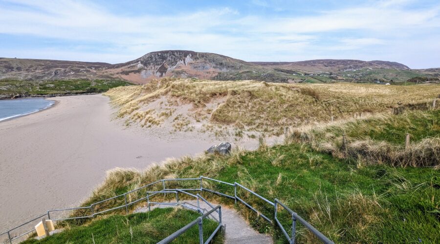
The Donegal Way follows two long distance walking routes: the Bluestack Way from Donegal Town to Ardara and Slí Cholmcille and one of the Bealach na Gaeltachta – The Ways of the Gaeltacht – a set of long distance walking routes covering most of Northwest Donegal. This is walking country – small villages, green roads and a stunning variety of scenery.
Donegal is the north west outpost of Ireland. Separated from the rest of the republic by the slimmest Northern Ireland Border and wrapped in an extensive Atlantic coastline. The county carries this sense of independence in its physical geography, its people and the stark beauty of the land. The area has survived the rigours of the Atlantic, poor quality farmland, immigration, isolation and is moving into the 21st century in its own right, as a place of tradition and culture, unsullied by mass tourism.
The walking route starts from Donegal town on The Bluestack Way, formed in 1999. It is 47km long to Ardara.
The route crosses the Bluestack Mountains, with peaks of 600m but the Way rarely climbs above 250m. The Bluestacks are wild, rough and absolutely stunning! You will follow Slí Cholmcille in the south west corner of the county to Kilcar. You will see the wonderful indented coastlines, blanket bogland, and innumerable streams, rivers and lakes, glens and moors.
Approximately 30% of this route is on tarred roads.
Price Includes
Optional Extras
Pricing
The 8 day tour consists of 6 full days walking. The tour starts in in Donegal Town and follows the Bluestack Way via Glenties to Ardara. You then follow Sli Columkille in the southwest corner of Donegal to Kilcar where the walking tour finishes.
This tour is rated MODERATE.
See how we determine levels of difficulty for each of our hiking tours by visiting our FAQ page.
On the north eastern shore of Donegal Bay, Donegal is a lovely traditional town with excellent shops, restaurants, live music and relaxing walks along the river. Your accommodation this night is perfectly situated for exploring town and your walk tomorrow on the Bluestack Way.
The Way follows the western shore of the lake and woodlands before climbing the foothills of the Bluestack Mountains. There are beautiful views from the Banagher saddle of Lough Eske and the mountains ahead. Follow the Eglish river valley through the drumlins of south Donegal to the deserted townlands. Your hosts will transfer you from the end of the walk back to your guesthouse.
Distance 24km (15mi). Ascents 440m (1,444ft). Approximate walking time 7 hours.
Overnight accommodation Donegal town.
Your hosts will transfer you to where the walk finished yesterday. Hike to Glenties over the pass at Cloghmeen Hill through blanket bogland. Today’s walk is through more of the lowland settlements, past the pre Christian graveyard of Disert. Traverse the mountain of Luaghnabrogue to follow through the solitude of the Owenroe River to the sheep farming country south of Glenties.
Distance 16km (10mi). Ascents 370m (1,214ft). Approximate walking time 5 hours.
Optional extra route to Lough Anna, add 5km (3mi).
Overnight accommodation in Glenties.
Free day to walk in the Glenties area. Walk through lanes and boglands to the beautiful Lough Naeroaghy on the little drumlin of Derkbeg 330m. Enjoy fabulous views of the Gweebarra Bay and west to the Atlantic.
Distance 14km (9mi). Ascents 130m (427ft). Approximate walking time 4 hours.
Overnight accommodation in Glenties.
Follow The Bluestack Way and the Owenea River to Ardara. Today’s walk follows the fishing access route to the Owenea River on gorse lined paths with the Atlantic ahead and the mountains behind. It’s a relatively easy day’s walking and allows plenty of time to enjoy the lovely town of Ardara.
Distance 12km (7mi). Ascents 80m (262ft). Approximate walking time 4 hours.
Overnight accommodation in Ardara.
Transfer by taxi to Maghera Strand. Follow the Slí Cholmcille along the foothills of the Slieve Tooey and Crockuna mountains to Glencolumbkille. Climb by road to the top of the Owenree River valley to look down on Loughros Beg Bay, Maghera Strand and east to Ardara. The Way crosses a mountain pass at 350m to descend by road through sheep farming foothills to the gloriously remote cove of Port. Your final climb of the day takes you up Faugher Mountain to descend to the village of Glencolumbkille. This remote and beautiful corner of Donegal is also a Gaelic speaking area and has many interesting megalithic and early Christian monuments.
Distance 20km (12mi). Ascents 630m (2,067ft). Approximate walking time 7 hours.
Overnight accommodation in Glencolumbkille.
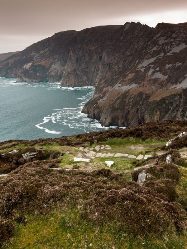
This route follows blanket bogland and traditional cart tracks, crossing a mountain to reach Carrick and the tiny village of Teelin, home to the famous Slieve League Cliffs.
Distance 13-14km (8-9mi). Ascents 310m (1,017ft). Approximate walking time 5 hours.
Overnight accommodation in Carrick.
Depart by scheduled bus services from Carrick to Donegal for onward connections.
May 2024 – Eric & Clare, United States
My husband and I loved our Donegal Way tour with Tailor-Made! They adapted the tour so that we could spend 12 days, alternating hiking with rest and exploration days. It was flawless. Route notes were easy to understand and full of useful details, our B&B hosts were wonderful and actually the highlight of our trip! Food was easy to find, transfers were all taken care of, and transportation advice for the first and last day were spot on. While the hiking was challenging, the views and the experience were incredibly rewarding. Would recommend this tour and company to anyone wanting a walking holiday in Ireland!
Summer 2023 – Vicki, United Kingdom
We had a wonderful week long holiday in Donegal organised by Tailor-Made Tours. It was well organised – we did the walking and the company made sure we had a bed for the night and that our bags were transported for us. Their itinerary was easy to follow and the walks were to places we’d never have been able to visit without their help. We travelled by train/ferry/bus from London so it was also a low carbon option.
+353 1 554 3642
info@tailor-madetours.com


